
User login
Language
Resilience Systems
________________________________

Videos - Renewable Energy


Related Links
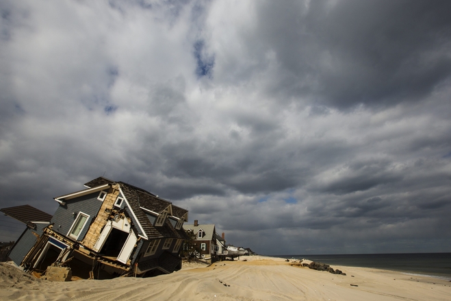
Twitter Feed - #Sandy #NJ
Anonymous's groups in this site
User is not a member of any group.
Your groups across all your sites
User is not a member of any group.
Recent Content
Active forum topics
Recent blog posts
Who's online
There are currently 0 users online.


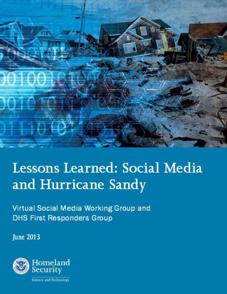
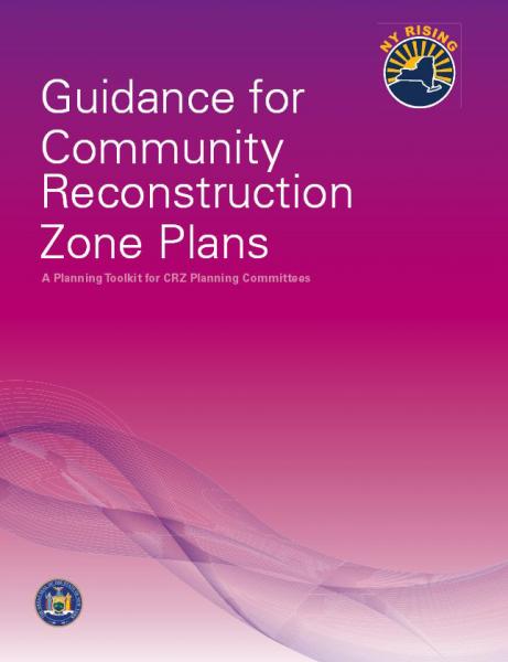 nysandyhelp.ny.gov


 submitted by Jill Cornell
Recent Comments